The Slade at Plumstead Common
Introduction
The photograph on this page of The Slade at Plumstead Common by Marathon as part of the Geograph project.
The Geograph project started in 2005 with the aim of publishing, organising and preserving representative images for every square kilometre of Great Britain, Ireland and the Isle of Man.

There are currently over 7.5m images from over 14,400 individuals and you can help contribute to the project by visiting https://www.geograph.org.uk
The Slade at Plumstead Common
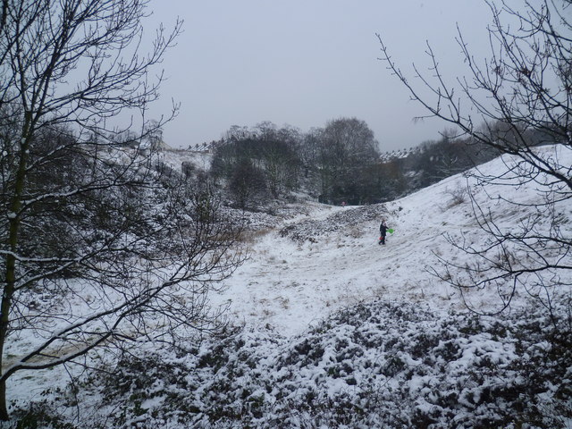
Image: © Marathon Taken: 5 Feb 2012
This ravine with its steep sides has an attractive show of gorse in the spring as can be seen at http://www.geograph.org.uk/photo/1888368 There is also a fine pond hidden beyond the trees in the distance. On this Sunday, after a night when it had snowed for the first time this winter, tobogganists were making good use of the steep slopes.
Images are licensed for reuse under creativecommons.org/licenses/by-sa/2.0
Image Location
Latitude
51.480467
Longitude
0.087864