Rerouting of New Road, Hellingly
Introduction
The photograph on this page of Rerouting of New Road, Hellingly by nick macneill as part of the Geograph project.
The Geograph project started in 2005 with the aim of publishing, organising and preserving representative images for every square kilometre of Great Britain, Ireland and the Isle of Man.

There are currently over 7.5m images from over 14,400 individuals and you can help contribute to the project by visiting https://www.geograph.org.uk
Rerouting of New Road, Hellingly
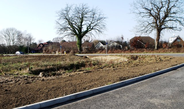
Image: © nick macneill Taken: 1 Feb 2012
New Road itself has been closed for sometime and is now accessible through an access road slightly to the north of the original position. The rather unsightly scene is landscaping which will look much better one presumes, by the end of the summer.
Images are licensed for reuse under creativecommons.org/licenses/by-sa/2.0
Image Location
Latitude
50.885208
Longitude
0.256773