Oxhey: The Villiers Arms
Introduction
The photograph on this page of Oxhey: The Villiers Arms by Nigel Cox as part of the Geograph project.
The Geograph project started in 2005 with the aim of publishing, organising and preserving representative images for every square kilometre of Great Britain, Ireland and the Isle of Man.

There are currently over 7.5m images from over 14,400 individuals and you can help contribute to the project by visiting https://www.geograph.org.uk
Oxhey: The Villiers Arms
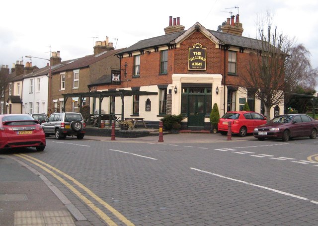
Image: © Nigel Cox Taken: 22 Jan 2012
Named after the Villiers family who were the Earls of Clarendon, The Villiers Arms is on Villiers Road at its junction with Upper Paddock Road. Although this whole area is now known as Oxhey Village on Victorian Ordnance Survey maps it is described as New Bushey.
Images are licensed for reuse under creativecommons.org/licenses/by-sa/2.0
Image Location
Latitude
51.643085
Longitude
-0.381196