Whittle Dene House
Introduction
The photograph on this page of Whittle Dene House by Andrew Curtis as part of the Geograph project.
The Geograph project started in 2005 with the aim of publishing, organising and preserving representative images for every square kilometre of Great Britain, Ireland and the Isle of Man.

There are currently over 7.5m images from over 14,400 individuals and you can help contribute to the project by visiting https://www.geograph.org.uk
Whittle Dene House
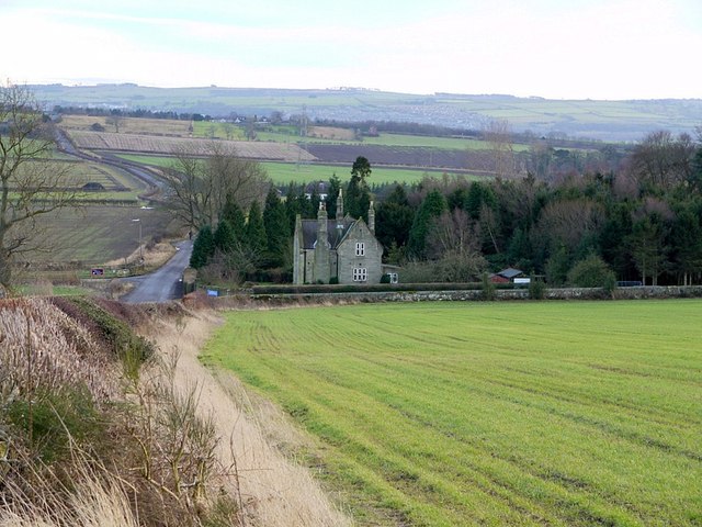
Image: © Andrew Curtis Taken: 28 Jan 2012
The house acts as a lodge at the entrance to Whittle Dene Water Treatment Works. The road on the left runs between the Military Road from the hill top of Harlow Hill to the A69 west of Horsley and is known as Oatens Bank. There is another photo here Image The Water Treatment Works is well hidden behind its screens of trees.
Images are licensed for reuse under creativecommons.org/licenses/by-sa/2.0
Image Location
Latitude
55.001111
Longitude
-1.87741