A glimpse of Ysbyty Cwm Rhondda viewed across the Rhondda Fawr river
Introduction
The photograph on this page of A glimpse of Ysbyty Cwm Rhondda viewed across the Rhondda Fawr river by Jaggery as part of the Geograph project.
The Geograph project started in 2005 with the aim of publishing, organising and preserving representative images for every square kilometre of Great Britain, Ireland and the Isle of Man.

There are currently over 7.5m images from over 14,400 individuals and you can help contribute to the project by visiting https://www.geograph.org.uk
A glimpse of Ysbyty Cwm Rhondda viewed across the Rhondda Fawr river
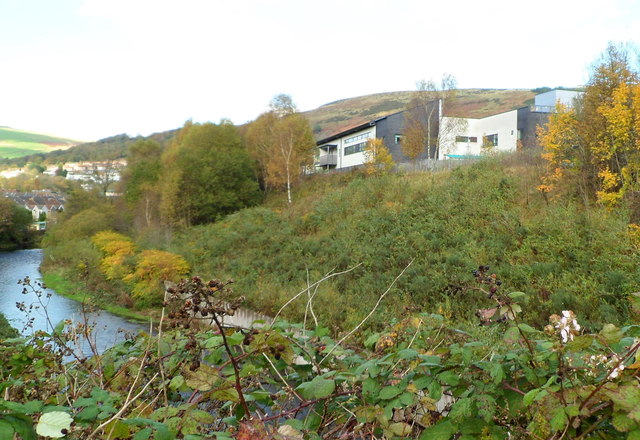
Image: © Jaggery Taken: 28 Oct 2011
Viewed from the brambly edge of the A4058. On the right is an edge of the recently-built Ysbyty Cwm Rhondda hospital http://www.geograph.org.uk/photo/2791402. The Rhondda Fawr river is on the left.
Images are licensed for reuse under creativecommons.org/licenses/by-sa/2.0
Image Location
Latitude
51.634935
Longitude
-3.450653