Western end of the car park at Llanddulas
Introduction
The photograph on this page of Western end of the car park at Llanddulas by Eirian Evans as part of the Geograph project.
The Geograph project started in 2005 with the aim of publishing, organising and preserving representative images for every square kilometre of Great Britain, Ireland and the Isle of Man.

There are currently over 7.5m images from over 14,400 individuals and you can help contribute to the project by visiting https://www.geograph.org.uk
Western end of the car park at Llanddulas
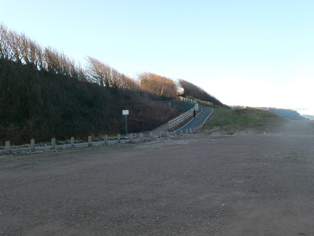
Image: © Eirian Evans Taken: 14 Jan 2012
The Sustrans path NO.5 and the North Wales Coastal Path (and now the All Wales Coast Path) follows the track at the middle of the photo
Images are licensed for reuse under creativecommons.org/licenses/by-sa/2.0
Image Location


Leaflet Map data © OpenStreetMap
Latitude
53.292492
Longitude
-3.649191