Manchester Ship Canal (River Irwell)
Introduction
The photograph on this page of Manchester Ship Canal (River Irwell) by David Dixon as part of the Geograph project.
The Geograph project started in 2005 with the aim of publishing, organising and preserving representative images for every square kilometre of Great Britain, Ireland and the Isle of Man.

There are currently over 7.5m images from over 14,400 individuals and you can help contribute to the project by visiting https://www.geograph.org.uk
Manchester Ship Canal (River Irwell)
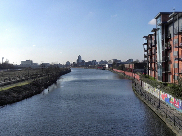
Image: © David Dixon Taken: 1 Feb 2012
Downstream of the Woden Street footbridge (from where this photograph is taken), the River Irwell becomes the Manchester Ship Canal. This view is looking towards the Pomona Docks.
Images are licensed for reuse under creativecommons.org/licenses/by-sa/2.0
Image Location
Latitude
53.471953
Longitude
-2.26767