Lane to Oulston
Introduction
The photograph on this page of Lane to Oulston by Gordon Hatton as part of the Geograph project.
The Geograph project started in 2005 with the aim of publishing, organising and preserving representative images for every square kilometre of Great Britain, Ireland and the Isle of Man.

There are currently over 7.5m images from over 14,400 individuals and you can help contribute to the project by visiting https://www.geograph.org.uk
Lane to Oulston
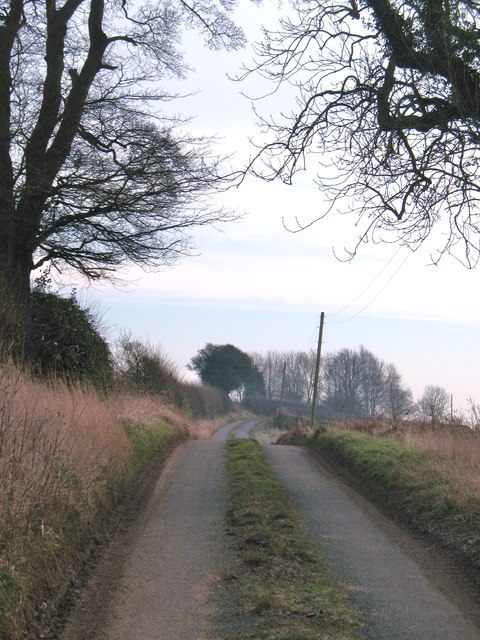
Image: © Gordon Hatton Taken: 4 Feb 2012
Unnamed lane heading east past Yeoman Course House towards Oulston.
Images are licensed for reuse under creativecommons.org/licenses/by-sa/2.0
Image Location


Leaflet Map data © OpenStreetMap
Latitude
54.162807
Longitude
-1.182288