Burn and fence near Cuil an Duin
Introduction
The photograph on this page of Burn and fence near Cuil an Duin by Russel Wills as part of the Geograph project.
The Geograph project started in 2005 with the aim of publishing, organising and preserving representative images for every square kilometre of Great Britain, Ireland and the Isle of Man.

There are currently over 7.5m images from over 14,400 individuals and you can help contribute to the project by visiting https://www.geograph.org.uk
Burn and fence near Cuil an Duin
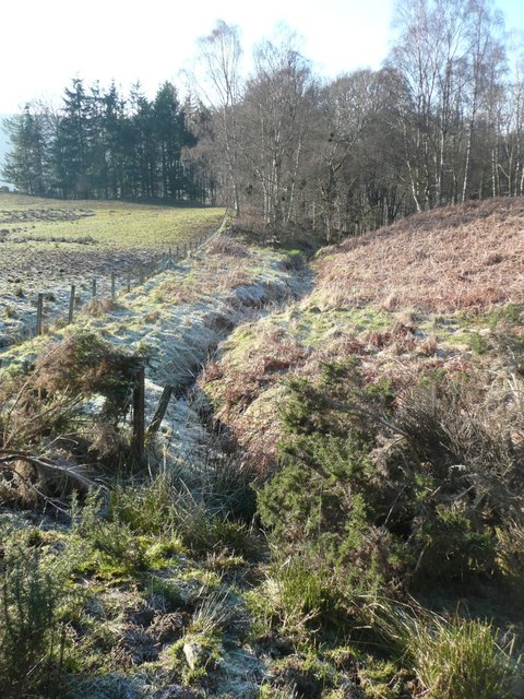
Image: © Russel Wills Taken: 3 Feb 2012
Crossing the boggy field to the left, to access this square, was only possible because it was frozen solid!
Images are licensed for reuse under creativecommons.org/licenses/by-sa/2.0
Image Location
Latitude
56.639911
Longitude
-3.646758