The Tremar Stream
Introduction
The photograph on this page of The Tremar Stream by Eric Foster as part of the Geograph project.
The Geograph project started in 2005 with the aim of publishing, organising and preserving representative images for every square kilometre of Great Britain, Ireland and the Isle of Man.

There are currently over 7.5m images from over 14,400 individuals and you can help contribute to the project by visiting https://www.geograph.org.uk
The Tremar Stream
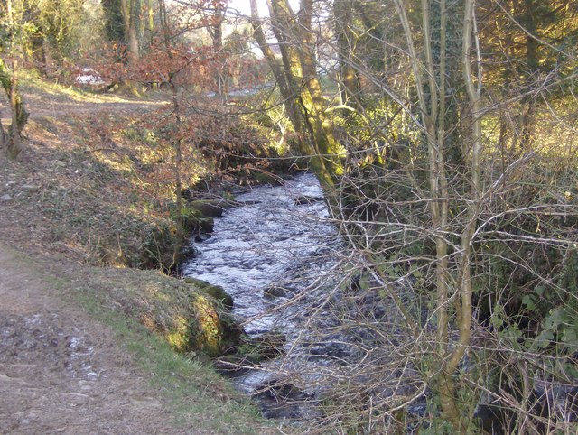
Image: © Eric Foster Taken: 3 Feb 2012
A tributary of the River Seaton, this stream was used for tin streaming long before the discovery of copper which turned this rural common area into a small settlement to support the mineworkers and their families. Indeed, before this industrial expansion, around 1840, the village of Tremar Coombe simply did not exist. The only properties in the area shown on the Tithe map pre 1841, and located at Trecarne, some 250 yards north, are believed to be the homes of the Tremar Tin Streamers. The Tremar stream continues to flow gently down the valley, oblivious of the changes this area has experienced, is experiencing and will undoubtedly experience!
Images are licensed for reuse under creativecommons.org/licenses/by-sa/2.0
Image Location
Latitude
50.487781
Longitude
-4.459302