Road heading north of Bettws
Introduction
The photograph on this page of Road heading north of Bettws by John Light as part of the Geograph project.
The Geograph project started in 2005 with the aim of publishing, organising and preserving representative images for every square kilometre of Great Britain, Ireland and the Isle of Man.

There are currently over 7.5m images from over 14,400 individuals and you can help contribute to the project by visiting https://www.geograph.org.uk
Road heading north of Bettws
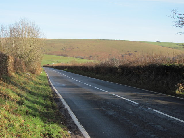
Image: © John Light Taken: 13 Jan 2012
Looking across to Pen y Foel. Just out of shot to the right is the stile for the footpath leading towards Llangeinor.
Images are licensed for reuse under creativecommons.org/licenses/by-sa/2.0
Image Location
Latitude
51.574154
Longitude
-3.58249