Bridleway to Lucott Farm
Introduction
The photograph on this page of Bridleway to Lucott Farm by Graham Horn as part of the Geograph project.
The Geograph project started in 2005 with the aim of publishing, organising and preserving representative images for every square kilometre of Great Britain, Ireland and the Isle of Man.

There are currently over 7.5m images from over 14,400 individuals and you can help contribute to the project by visiting https://www.geograph.org.uk
Bridleway to Lucott Farm
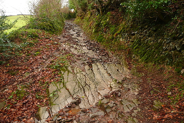
Image: © Graham Horn Taken: 29 Dec 2011
This was awkwardly steep and coming down was a bit difficult, particularly on those rock outcrops which were slippery after rain.
Images are licensed for reuse under creativecommons.org/licenses/by-sa/2.0
Image Location


Leaflet Map data © OpenStreetMap
Latitude
51.192143
Longitude
-3.622888