The A31 at East Almer Farm
Introduction
The photograph on this page of The A31 at East Almer Farm by Nigel Mykura as part of the Geograph project.
The Geograph project started in 2005 with the aim of publishing, organising and preserving representative images for every square kilometre of Great Britain, Ireland and the Isle of Man.

There are currently over 7.5m images from over 14,400 individuals and you can help contribute to the project by visiting https://www.geograph.org.uk
The A31 at East Almer Farm
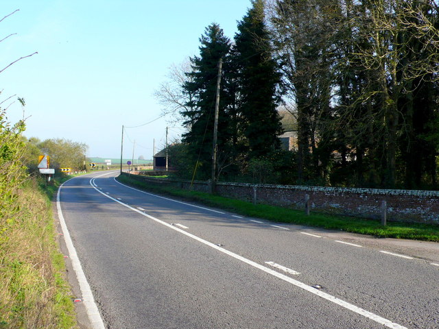
Image: © Nigel Mykura Taken: 15 Nov 2011
The A31 has to take a circuitous route round the Drax estate at Charborough. Prior to 1840 the turnpike road ran much closer to the main house but the Drax of the time had it moved. The brick wall which surrounds the park is 2m high in most places but here it is only half that height.
Images are licensed for reuse under creativecommons.org/licenses/by-sa/2.0
Image Location
Latitude
50.792669
Longitude
-2.115577