A2070 delineates Park Estate
Introduction
The photograph on this page of A2070 delineates Park Estate by Stuart Logan as part of the Geograph project.
The Geograph project started in 2005 with the aim of publishing, organising and preserving representative images for every square kilometre of Great Britain, Ireland and the Isle of Man.

There are currently over 7.5m images from over 14,400 individuals and you can help contribute to the project by visiting https://www.geograph.org.uk
A2070 delineates Park Estate
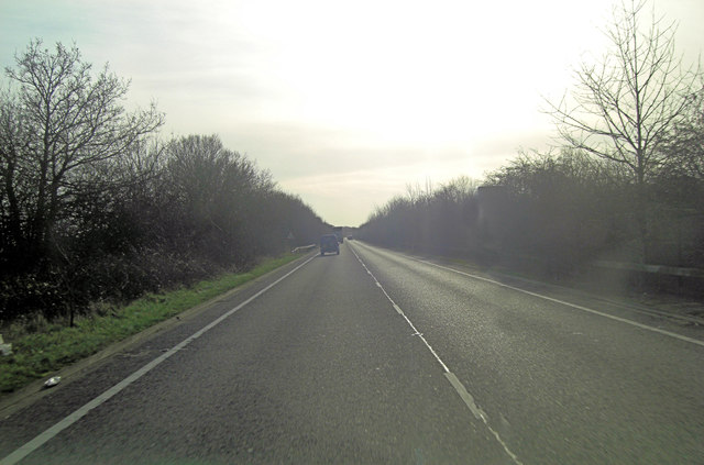
Image: © Stuart Logan Taken: 14 Jan 2012
This long straight road forms the eastern boundary of a new housing estate on Park Farm.
Images are licensed for reuse under creativecommons.org/licenses/by-sa/2.0
Image Location
Latitude
51.119118
Longitude
0.879643