Cottages on Bury and Bolton Road
Introduction
The photograph on this page of Cottages on Bury and Bolton Road by philandju as part of the Geograph project.
The Geograph project started in 2005 with the aim of publishing, organising and preserving representative images for every square kilometre of Great Britain, Ireland and the Isle of Man.

There are currently over 7.5m images from over 14,400 individuals and you can help contribute to the project by visiting https://www.geograph.org.uk
Cottages on Bury and Bolton Road
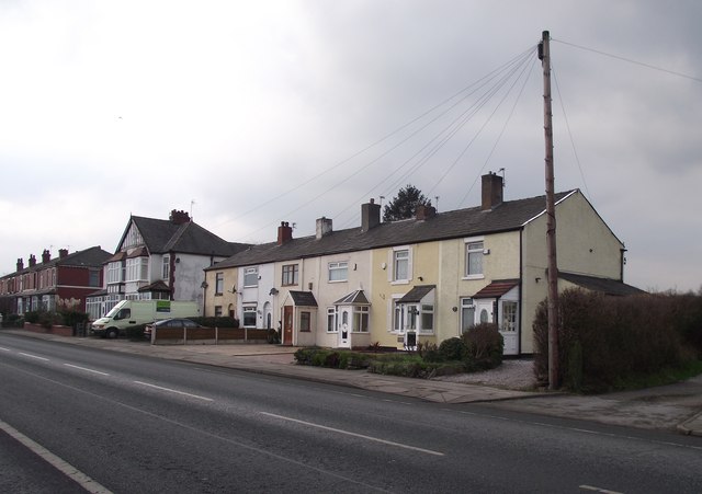
Image: © philandju Taken: 31 Jan 2012
According to a 1908 OS map, these cottages then stood alone and were named Wilton Hill. Across the road was a milestone that read Bolton 4 miles and Bury 1 and 3/4 miles. Alas, the stone is no longer there.
Images are licensed for reuse under creativecommons.org/licenses/by-sa/2.0
Image Location
Latitude
53.582606
Longitude
-2.336491