Mounton Brook, Pwllmeyric
Introduction
The photograph on this page of Mounton Brook, Pwllmeyric by Jaggery as part of the Geograph project.
The Geograph project started in 2005 with the aim of publishing, organising and preserving representative images for every square kilometre of Great Britain, Ireland and the Isle of Man.

There are currently over 7.5m images from over 14,400 individuals and you can help contribute to the project by visiting https://www.geograph.org.uk
Mounton Brook, Pwllmeyric
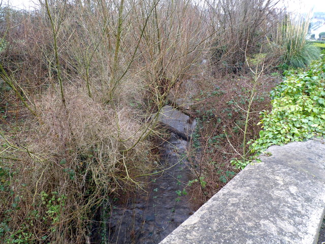
Image: © Jaggery Taken: 29 Jan 2012
Viewed from the A48. Kelly's Directory of Monmouthshire 1901 describes Mounton Brook as a "trout stream". I wonder if that is still true today?
Images are licensed for reuse under creativecommons.org/licenses/by-sa/2.0
Image Location
Latitude
51.626514
Longitude
-2.702041