Northern end of Chapel Lane, Pwllmeyric
Introduction
The photograph on this page of Northern end of Chapel Lane, Pwllmeyric by Jaggery as part of the Geograph project.
The Geograph project started in 2005 with the aim of publishing, organising and preserving representative images for every square kilometre of Great Britain, Ireland and the Isle of Man.

There are currently over 7.5m images from over 14,400 individuals and you can help contribute to the project by visiting https://www.geograph.org.uk
Northern end of Chapel Lane, Pwllmeyric
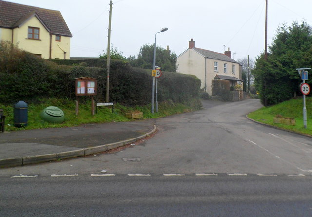
Image: © Jaggery Taken: 29 Jan 2012
Viewed across the A48. Lined up on the corner on the left of the Chapel Lane name sign are a noticeboard, grit bin, litter bin and the edge of a wooden bench.
Images are licensed for reuse under creativecommons.org/licenses/by-sa/2.0
Image Location
Latitude
51.629246
Longitude
-2.696304