Steelend Miners Welfare Club
Introduction
The photograph on this page of Steelend Miners Welfare Club by Richard Webb as part of the Geograph project.
The Geograph project started in 2005 with the aim of publishing, organising and preserving representative images for every square kilometre of Great Britain, Ireland and the Isle of Man.

There are currently over 7.5m images from over 14,400 individuals and you can help contribute to the project by visiting https://www.geograph.org.uk
Steelend Miners Welfare Club
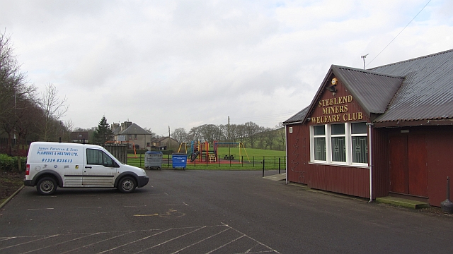
Image: © Richard Webb Taken: 30 Jan 2012
Social club in a small village under Saline Hill. Steelend was the centre for a network of private collieries around Saline and Knock Hill that were worked until 1975.
Images are licensed for reuse under creativecommons.org/licenses/by-sa/2.0
Image Location
Latitude
56.112832
Longitude
-3.548421