Teversal - underbridge on trail
Introduction
The photograph on this page of Teversal - underbridge on trail by Dave Bevis as part of the Geograph project.
The Geograph project started in 2005 with the aim of publishing, organising and preserving representative images for every square kilometre of Great Britain, Ireland and the Isle of Man.

There are currently over 7.5m images from over 14,400 individuals and you can help contribute to the project by visiting https://www.geograph.org.uk
Teversal - underbridge on trail
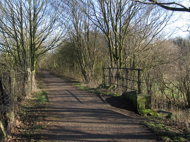
Image: © Dave Bevis Taken: 28 Jan 2012
This underbridge on the old Teversal to Skegby railway line is about 250 metres to the west of that shown at Image
Images are licensed for reuse under creativecommons.org/licenses/by-sa/2.0
Image Location
Latitude
53.148251
Longitude
-1.27465