House on Wimborne Rd
Introduction
The photograph on this page of House on Wimborne Rd by Nigel Mykura as part of the Geograph project.
The Geograph project started in 2005 with the aim of publishing, organising and preserving representative images for every square kilometre of Great Britain, Ireland and the Isle of Man.

There are currently over 7.5m images from over 14,400 individuals and you can help contribute to the project by visiting https://www.geograph.org.uk
House on Wimborne Rd
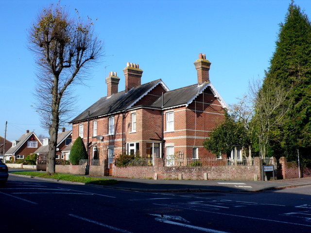
Image: © Nigel Mykura Taken: 15 Nov 2011
This red brick Victorian detached house with a small modern extension sits at the junction with Truman Rd. The road in the foreground is the A341 Wimborne Rd.
Images are licensed for reuse under creativecommons.org/licenses/by-sa/2.0
Image Location
Latitude
50.769397
Longitude
-1.90508