Neslam Farm and air strip, Neslam Fen
Introduction
The photograph on this page of Neslam Farm and air strip, Neslam Fen by Roger Callow as part of the Geograph project.
The Geograph project started in 2005 with the aim of publishing, organising and preserving representative images for every square kilometre of Great Britain, Ireland and the Isle of Man.

There are currently over 7.5m images from over 14,400 individuals and you can help contribute to the project by visiting https://www.geograph.org.uk
Neslam Farm and air strip, Neslam Fen
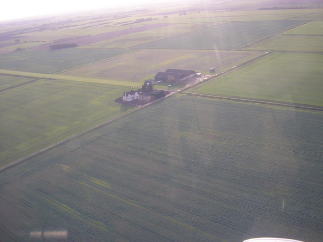
Image: © Roger Callow Taken: 14 Nov 2006
Aerial photo showing airstrip extending to the left from the farm buildings. Proposed site of six 125m high wind turbines.
Images are licensed for reuse under creativecommons.org/licenses/by-sa/2.0
Image Location
Latitude
52.880487
Longitude
-0.299977