Fire damage
Introduction
The photograph on this page of Fire damage by Richard Croft as part of the Geograph project.
The Geograph project started in 2005 with the aim of publishing, organising and preserving representative images for every square kilometre of Great Britain, Ireland and the Isle of Man.

There are currently over 7.5m images from over 14,400 individuals and you can help contribute to the project by visiting https://www.geograph.org.uk
Fire damage
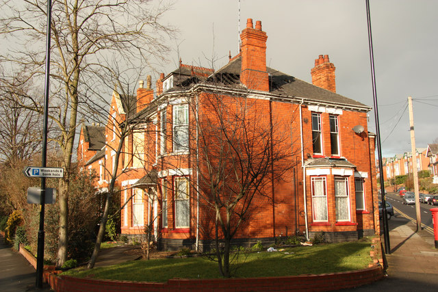
Image: © Richard Croft Taken: 28 Jan 2012
Edwardian house on the corner of West Parade http://www.geograph.org.uk/photo/2783564 and Yarborough Road http://www.geograph.org.uk/photo/2783566 damaged by fire in the early hours of December 27th 2011, still with a large hole in the roof a month later.
Images are licensed for reuse under creativecommons.org/licenses/by-sa/2.0
Image Location
Latitude
53.232282
Longitude
-0.54527