Blandford Skatepark
Introduction
The photograph on this page of Blandford Skatepark by Mike Faherty as part of the Geograph project.
The Geograph project started in 2005 with the aim of publishing, organising and preserving representative images for every square kilometre of Great Britain, Ireland and the Isle of Man.

There are currently over 7.5m images from over 14,400 individuals and you can help contribute to the project by visiting https://www.geograph.org.uk
Blandford Skatepark
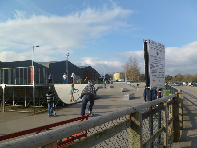
Image: © Mike Faherty Taken: 28 Jan 2012
Overlooking Stour Meadows, with modern brewery buildings in the background. It seems to have hit the right spot! http://www.extremesportsmap.com/uk/spot_details.php?spot_id=1419
Images are licensed for reuse under creativecommons.org/licenses/by-sa/2.0
Image Location


Leaflet Map data © OpenStreetMap
Latitude
50.852686
Longitude
-2.160048