Llwybr glanafon / Riverside path
Introduction
The photograph on this page of Llwybr glanafon / Riverside path by Alan Richards as part of the Geograph project.
The Geograph project started in 2005 with the aim of publishing, organising and preserving representative images for every square kilometre of Great Britain, Ireland and the Isle of Man.

There are currently over 7.5m images from over 14,400 individuals and you can help contribute to the project by visiting https://www.geograph.org.uk
Llwybr glanafon / Riverside path
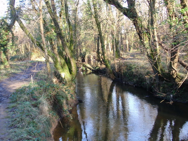
Image: © Alan Richards Taken: 28 Jan 2012
Llwybr ar lan Afon Llan ger treflan Cadle. Mae'n posibl dilyn yr afon am filltir a hanner lan at sgwd ysblennydd. Riverside path alongside the Llan River near the hamlet of Cadle (trans.battlefield). It is possible to follow the river for a mile and half to a splendid waterfall.
Images are licensed for reuse under creativecommons.org/licenses/by-sa/2.0
Image Location
Latitude
51.656982
Longitude
-3.989606