Cottages at Porlock Weir
Introduction
The photograph on this page of Cottages at Porlock Weir by Graham Horn as part of the Geograph project.
The Geograph project started in 2005 with the aim of publishing, organising and preserving representative images for every square kilometre of Great Britain, Ireland and the Isle of Man.

There are currently over 7.5m images from over 14,400 individuals and you can help contribute to the project by visiting https://www.geograph.org.uk
Cottages at Porlock Weir
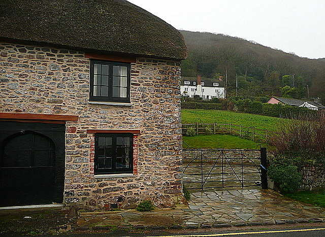
Image: © Graham Horn Taken: 30 Dec 2011
This shows how the village has little room to breathe on the sea front, and after one row of houses further up the hillside the woodland of Worthy Wood soon takes over on the steeper slopes. Just two and a bit kilometres in that direction and the land has risen to 436 metres above sea level.
Images are licensed for reuse under creativecommons.org/licenses/by-sa/2.0
Image Location
Latitude
51.218087
Longitude
-3.626092