Stockbridge pasture
Introduction
The photograph on this page of Stockbridge pasture by Peter Eckersley as part of the Geograph project.
The Geograph project started in 2005 with the aim of publishing, organising and preserving representative images for every square kilometre of Great Britain, Ireland and the Isle of Man.

There are currently over 7.5m images from over 14,400 individuals and you can help contribute to the project by visiting https://www.geograph.org.uk
Stockbridge pasture
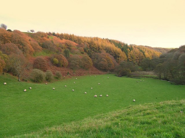
Image: © Peter Eckersley Taken: 12 Nov 2006
Autumn colours on Stockbridge wood to the left and Grange wood to the right with Kirk Beck between the two. The valley is a good example of a glacial meltwater channel
Images are licensed for reuse under creativecommons.org/licenses/by-sa/2.0
Image Location
Latitude
54.480641
Longitude
-3.490899