The broad highway east
Introduction
The photograph on this page of The broad highway east by Peter Whatley as part of the Geograph project.
The Geograph project started in 2005 with the aim of publishing, organising and preserving representative images for every square kilometre of Great Britain, Ireland and the Isle of Man.

There are currently over 7.5m images from over 14,400 individuals and you can help contribute to the project by visiting https://www.geograph.org.uk
The broad highway east
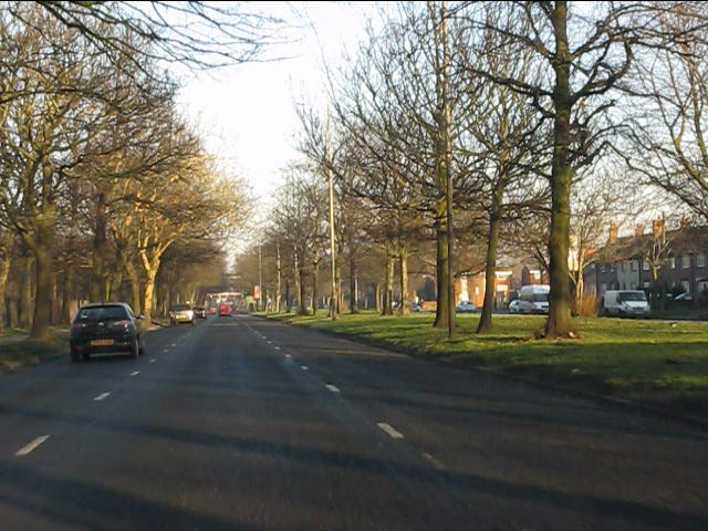
Image: © Peter Whatley Taken: 17 Jan 2012
Typical of the suburban dual carriageways constructed in Liverpool's outer suburbs in the 1920s/30s, Walton Hall Avenue retains its broad main carriageway and wide, tree-lined central reservation. Entirely suitable for its sometime role as the main highway from Liverpool's docks toward the rest of Lancashire. A classic of town planning.
Images are licensed for reuse under creativecommons.org/licenses/by-sa/2.0
Image Location
Latitude
53.447203
Longitude
-2.945968