Stockham
Introduction
The photograph on this page of Stockham by Derek Harper as part of the Geograph project.
The Geograph project started in 2005 with the aim of publishing, organising and preserving representative images for every square kilometre of Great Britain, Ireland and the Isle of Man.

There are currently over 7.5m images from over 14,400 individuals and you can help contribute to the project by visiting https://www.geograph.org.uk
Stockham
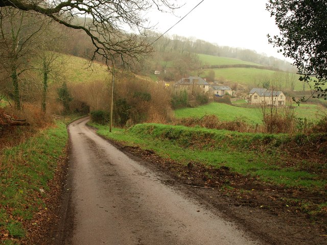
Image: © Derek Harper Taken: 21 Jan 2012
The view shown in Image, but on a gloomy winter's day rather than a sunny spring one; in fact, it's starting to rain quite heavily. The lane is from Hangman's Stone to Southleigh, along the southeast slopes of Southleigh Hill.
Images are licensed for reuse under creativecommons.org/licenses/by-sa/2.0
Image Location
Latitude
50.726491
Longitude
-3.126573