Bend into Hackleton
Introduction
The photograph on this page of Bend into Hackleton by Bill Nicholls as part of the Geograph project.
The Geograph project started in 2005 with the aim of publishing, organising and preserving representative images for every square kilometre of Great Britain, Ireland and the Isle of Man.

There are currently over 7.5m images from over 14,400 individuals and you can help contribute to the project by visiting https://www.geograph.org.uk
Bend into Hackleton
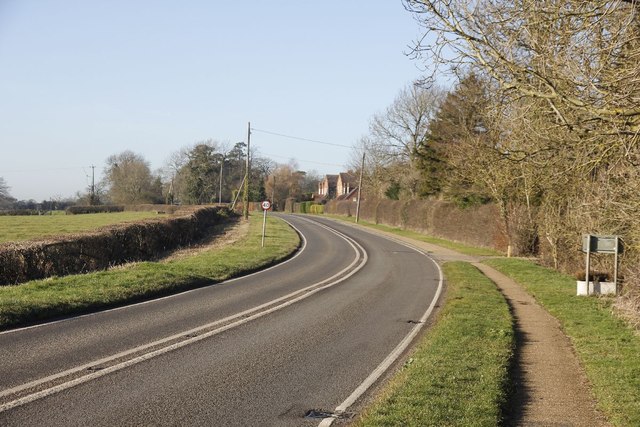
Image: © Bill Nicholls Taken: 14 Jan 2012
The Horton road looking towards Hackleton from just by the village limit.
Images are licensed for reuse under creativecommons.org/licenses/by-sa/2.0
Image Location
Latitude
52.184348
Longitude
-0.808479