Farm buildings (Pointon Cottage Farm)
Introduction
The photograph on this page of Farm buildings (Pointon Cottage Farm) by Roger Callow as part of the Geograph project.
The Geograph project started in 2005 with the aim of publishing, organising and preserving representative images for every square kilometre of Great Britain, Ireland and the Isle of Man.

There are currently over 7.5m images from over 14,400 individuals and you can help contribute to the project by visiting https://www.geograph.org.uk
Farm buildings (Pointon Cottage Farm)
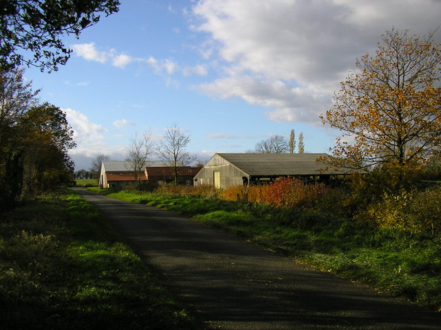
Image: © Roger Callow Taken: 13 Nov 2006
Previously part of Pointon Cottage Farm. The furthest building has been converted to house documents for a secure document archive company.
Images are licensed for reuse under creativecommons.org/licenses/by-sa/2.0
Image Location
Latitude
52.869845
Longitude
-0.37468