The Thames at Lower Halliford
Introduction
The photograph on this page of The Thames at Lower Halliford by mike smith as part of the Geograph project.
The Geograph project started in 2005 with the aim of publishing, organising and preserving representative images for every square kilometre of Great Britain, Ireland and the Isle of Man.

There are currently over 7.5m images from over 14,400 individuals and you can help contribute to the project by visiting https://www.geograph.org.uk
The Thames at Lower Halliford
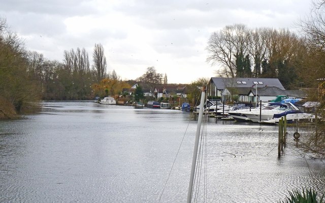
Image: © mike smith Taken: 22 Jan 2012
Looking upstream towards Shepperton. The land on the left is Desborough Island, created when a cut-through was constructed in the 1930s to avoid the lengthy meanders at Lower Halliford.
Images are licensed for reuse under creativecommons.org/licenses/by-sa/2.0
Image Location
Latitude
51.388821
Longitude
-0.44365