Long view to the Monnow gap
Introduction
The photograph on this page of Long view to the Monnow gap by Jonathan Billinger as part of the Geograph project.
The Geograph project started in 2005 with the aim of publishing, organising and preserving representative images for every square kilometre of Great Britain, Ireland and the Isle of Man.

There are currently over 7.5m images from over 14,400 individuals and you can help contribute to the project by visiting https://www.geograph.org.uk
Long view to the Monnow gap
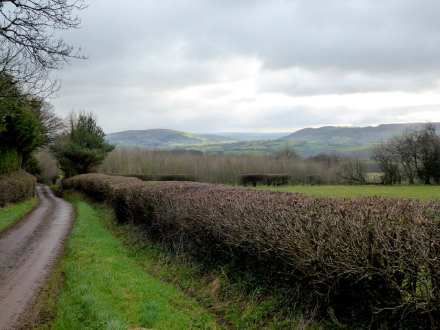
Image: © Jonathan Billinger Taken: 21 Jan 2012
The lane descends from Mynydd Merddin. Garway Hill and Graig Syfryddin form either side of the Monnow trench with the dark high ground beyond being the Forest of Dean.
Images are licensed for reuse under creativecommons.org/licenses/by-sa/2.0
Image Location
Latitude
51.938231
Longitude
-2.958115