
St Anthony's Tower
Introduction
The photograph on this page of St Anthony's Tower by Karl and Ali as part of the Geograph project.
The Geograph project started in 2005 with the aim of publishing, organising and preserving representative images for every square kilometre of Great Britain, Ireland and the Isle of Man.

There are currently over 7.5m images from over 14,400 individuals and you can help contribute to the project by visiting https://www.geograph.org.uk
St Anthony's Tower
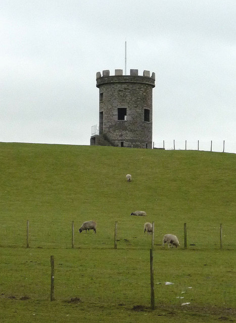
Image: © Karl and Ali Taken: 25 Jan 2012
A zoom shot from the A6 just north of Milnthorpe. The tower sits on a drumlin at about 69m asl and is a prominent local landmark. There are no public rights of way to reach it but maybe the locals know a way .......
Images are licensed for reuse under creativecommons.org/licenses/by-sa/2.0
Image Location

Latitude
54.232859
Longitude
-2.770547