Country crossroads
Introduction
The photograph on this page of Country crossroads by Michael Dibb as part of the Geograph project.
The Geograph project started in 2005 with the aim of publishing, organising and preserving representative images for every square kilometre of Great Britain, Ireland and the Isle of Man.

There are currently over 7.5m images from over 14,400 individuals and you can help contribute to the project by visiting https://www.geograph.org.uk
Country crossroads
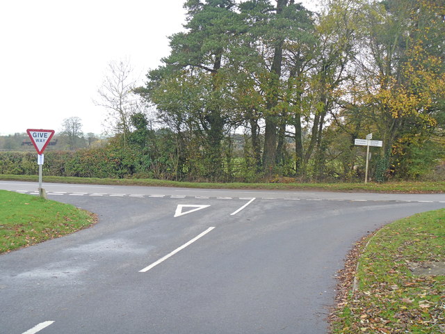
Image: © Michael Dibb Taken: 12 Nov 2011
Although not obvious from this image, this is a slightly staggered crossroads. behind the camera to Hook Norton. Left to Whichford and the Rollrights. Straight ahead to Sibford Ferris and Sibford Gower. Right to Milcombe, Bloxham and Banbury.
Images are licensed for reuse under creativecommons.org/licenses/by-sa/2.0
Image Location
Latitude
52.009912
Longitude
-1.493231