St Michael's Church, Mickleham
Introduction
The photograph on this page of St Michael's Church, Mickleham by Roger Miller as part of the Geograph project.
The Geograph project started in 2005 with the aim of publishing, organising and preserving representative images for every square kilometre of Great Britain, Ireland and the Isle of Man.

There are currently over 7.5m images from over 14,400 individuals and you can help contribute to the project by visiting https://www.geograph.org.uk
St Michael's Church, Mickleham
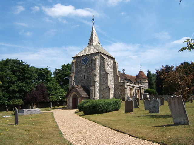
Image: © Roger Miller Taken: 16 Jul 2005
An earlier church on this site was mentioned in the Domesday Book. See http://www.leatherheadweb.org.uk/mickleham/history_m.html for further information.
Images are licensed for reuse under creativecommons.org/licenses/by-sa/2.0
Image Location


Leaflet Map data © OpenStreetMap
Latitude
51.26855
Longitude
-0.317125