Durdon Cross
Introduction
The photograph on this page of Durdon Cross by Derek Harper as part of the Geograph project.
The Geograph project started in 2005 with the aim of publishing, organising and preserving representative images for every square kilometre of Great Britain, Ireland and the Isle of Man.

There are currently over 7.5m images from over 14,400 individuals and you can help contribute to the project by visiting https://www.geograph.org.uk
Durdon Cross
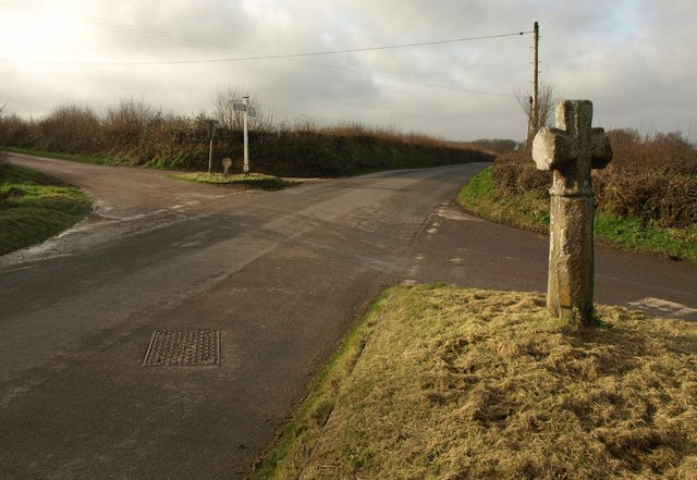
Image: © Derek Harper Taken: 20 Jan 2012
At the junction of the road from Okehampton to Northlew with Waterhouse Hill on the far side, and a lane to Lambert Cross to the right of the camera. A pair of grass triangles. The granite wayside cross is described at http://www.dartmoor-crosses.org.uk/durdon.htm and briefly at http://www.britishlistedbuildings.co.uk/en-93324-durdon-cross-northlew .
Images are licensed for reuse under creativecommons.org/licenses/by-sa/2.0
Image Location
Latitude
50.770267
Longitude
-4.097248