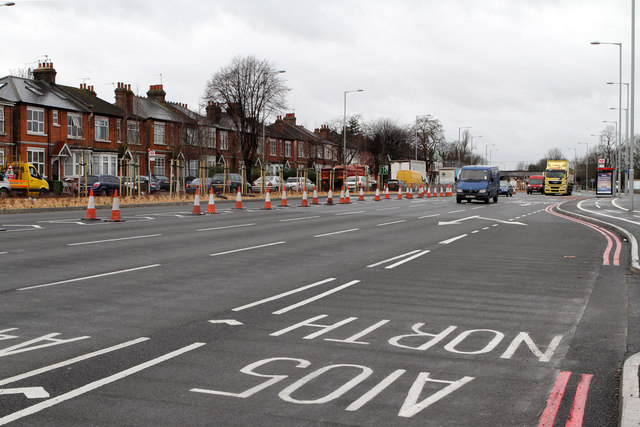
A406 North Circular Road
Introduction
The photograph on this page of A406 North Circular Road by Martin Addison as part of the Geograph project.
The Geograph project started in 2005 with the aim of publishing, organising and preserving representative images for every square kilometre of Great Britain, Ireland and the Isle of Man.
There are currently over 7.5m images from over 14,400 individuals and you can help contribute to the project by visiting https://www.geograph.org.uk

Image: © Martin Addison Taken: 20 Jan 2012
The Bowes Road section of the A406 on the approach to the junction with Green Lanes. Major changes haven been made to the road layout here in 2011/12 to widen the carriageway and improve the throughput of traffic at a well known bottleneck. The work has nearly been completed in this shot. The houses across the road date to circa 1900. Houses on the north side of the road (right hand side of the photo) were demolished circa 1970 to allow for an earlier road widening scheme - There is currently ongoing debate about demolitions of houses and business premises to the west of The New River and the Hertford Loop railway line in order to carry out further road improvements.

