Norman's Brook
Introduction
The photograph on this page of Norman's Brook by Philip Halling as part of the Geograph project.
The Geograph project started in 2005 with the aim of publishing, organising and preserving representative images for every square kilometre of Great Britain, Ireland and the Isle of Man.

There are currently over 7.5m images from over 14,400 individuals and you can help contribute to the project by visiting https://www.geograph.org.uk
Norman's Brook
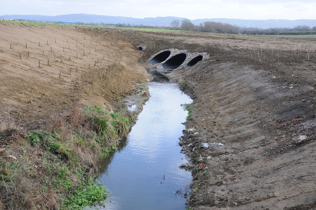
Image: © Philip Halling Taken: 21 Jan 2012
Norman's Brook viewed from the B4063, here the brook passes through part of the airfield of Gloucestershire Airport. The Gloucestershire Way did follow the brook here but has been slightly diverted to the west.
Images are licensed for reuse under creativecommons.org/licenses/by-sa/2.0
Image Location
Latitude
51.893445
Longitude
-2.178547