Footpath to Charity Lane
Introduction
The photograph on this page of Footpath to Charity Lane by Glyn Baker as part of the Geograph project.
The Geograph project started in 2005 with the aim of publishing, organising and preserving representative images for every square kilometre of Great Britain, Ireland and the Isle of Man.

There are currently over 7.5m images from over 14,400 individuals and you can help contribute to the project by visiting https://www.geograph.org.uk
Footpath to Charity Lane
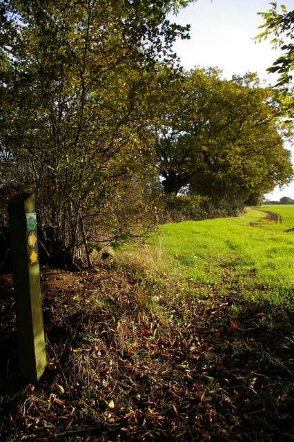
Image: © Glyn Baker Taken: 12 Nov 2006
This is a new footpath following the hedge line it is not marked on my 1:25,000 map. It links the footpath from Crows Lane to Cock Clarks with another from further down Crows Lane that leads to Cank Wood and the Charity Lane bridle path.
Images are licensed for reuse under creativecommons.org/licenses/by-sa/2.0
Image Location


Leaflet Map data © OpenStreetMap
Latitude
51.680373
Longitude
0.613489