Ibbertson Way
Introduction
The photograph on this page of Ibbertson Way by Nigel Mykura as part of the Geograph project.
The Geograph project started in 2005 with the aim of publishing, organising and preserving representative images for every square kilometre of Great Britain, Ireland and the Isle of Man.

There are currently over 7.5m images from over 14,400 individuals and you can help contribute to the project by visiting https://www.geograph.org.uk
Ibbertson Way
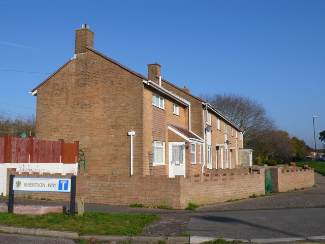
Image: © Nigel Mykura Taken: 15 Nov 2011
This is a small "T" shaped cul-de-sac just off Ibbertson Road in Castle Point. The relatively recent terraced houses are probably social housing.
Images are licensed for reuse under creativecommons.org/licenses/by-sa/2.0
Image Location
Latitude
50.75142
Longitude
-1.832114