House in Foxholes Road
Introduction
The photograph on this page of House in Foxholes Road by Nigel Mykura as part of the Geograph project.
The Geograph project started in 2005 with the aim of publishing, organising and preserving representative images for every square kilometre of Great Britain, Ireland and the Isle of Man.

There are currently over 7.5m images from over 14,400 individuals and you can help contribute to the project by visiting https://www.geograph.org.uk
House in Foxholes Road
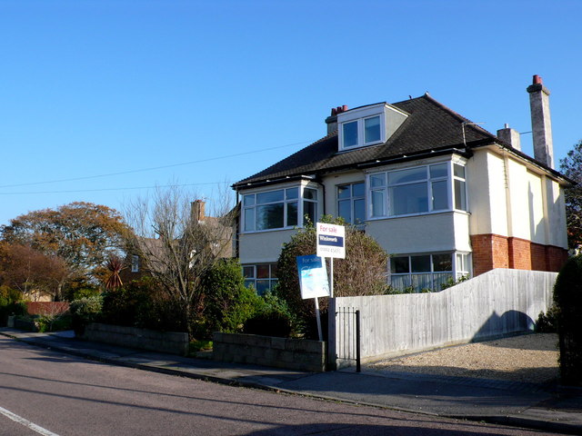
Image: © Nigel Mykura Taken: 15 Nov 2011
These 30's detached houses form a large part of Bournemouth's housing stock. The road used to be a main thoroughfare but developments over the years have turned it into a quiet residential road.
Images are licensed for reuse under creativecommons.org/licenses/by-sa/2.0
Image Location
Latitude
50.724294
Longitude
-1.795943