Former Pump house
Introduction
The photograph on this page of Former Pump house by Malcolm Campbell as part of the Geograph project.
The Geograph project started in 2005 with the aim of publishing, organising and preserving representative images for every square kilometre of Great Britain, Ireland and the Isle of Man.

There are currently over 7.5m images from over 14,400 individuals and you can help contribute to the project by visiting https://www.geograph.org.uk
Former Pump house
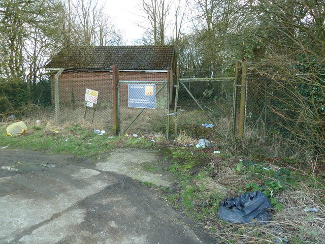
Image: © Malcolm Campbell Taken: 23 Jan 2012
Former pump house here - all enquiries to Savills.
Images are licensed for reuse under creativecommons.org/licenses/by-sa/2.0
Image Location
Latitude
51.945054
Longitude
-0.78675