"Nimbus" access cover, Belfast
Introduction
The photograph on this page of "Nimbus" access cover, Belfast by Albert Bridge as part of the Geograph project.
The Geograph project started in 2005 with the aim of publishing, organising and preserving representative images for every square kilometre of Great Britain, Ireland and the Isle of Man.

There are currently over 7.5m images from over 14,400 individuals and you can help contribute to the project by visiting https://www.geograph.org.uk
"Nimbus" access cover, Belfast
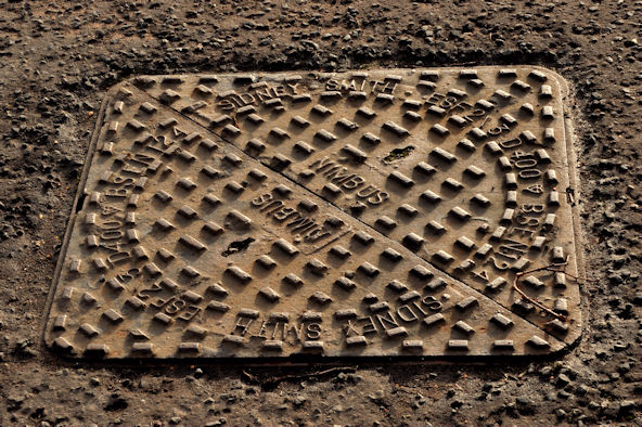
Image: © Albert Bridge Taken: 23 Jan 2012
A Sidney Smith Image “Nimbus” access cover, in the bus lane on the Saintfield Road, inward of the footbridge Image There are several in the immediate area.
Images are licensed for reuse under creativecommons.org/licenses/by-sa/2.0
Image Location
Latitude
54.549483
Longitude
-5.906994