Landscape south west of Woburn
Introduction
The photograph on this page of Landscape south west of Woburn by Michael Trolove as part of the Geograph project.
The Geograph project started in 2005 with the aim of publishing, organising and preserving representative images for every square kilometre of Great Britain, Ireland and the Isle of Man.

There are currently over 7.5m images from over 14,400 individuals and you can help contribute to the project by visiting https://www.geograph.org.uk
Landscape south west of Woburn
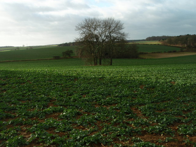
Image: © Michael Trolove Taken: 22 Jan 2012
Primarily arable crops of oilseed rape and winter wheat.
Images are licensed for reuse under creativecommons.org/licenses/by-sa/2.0
Image Location
Latitude
51.984511
Longitude
-0.629725