A41/A529 junction, Hinstock
Introduction
The photograph on this page of A41/A529 junction, Hinstock by Peter Whatley as part of the Geograph project.
The Geograph project started in 2005 with the aim of publishing, organising and preserving representative images for every square kilometre of Great Britain, Ireland and the Isle of Man.

There are currently over 7.5m images from over 14,400 individuals and you can help contribute to the project by visiting https://www.geograph.org.uk
A41/A529 junction, Hinstock
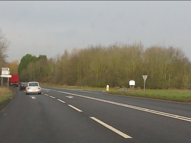
Image: © Peter Whatley Taken: 17 Jan 2012
The original course of the A41 goes through the village while today's route bypasses it.
Images are licensed for reuse under creativecommons.org/licenses/by-sa/2.0
Image Location
Latitude
52.830465
Longitude
-2.456064