Albert Road Recreation Ground
Introduction
The photograph on this page of Albert Road Recreation Ground by Martin Addison as part of the Geograph project.
The Geograph project started in 2005 with the aim of publishing, organising and preserving representative images for every square kilometre of Great Britain, Ireland and the Isle of Man.

There are currently over 7.5m images from over 14,400 individuals and you can help contribute to the project by visiting https://www.geograph.org.uk
Albert Road Recreation Ground
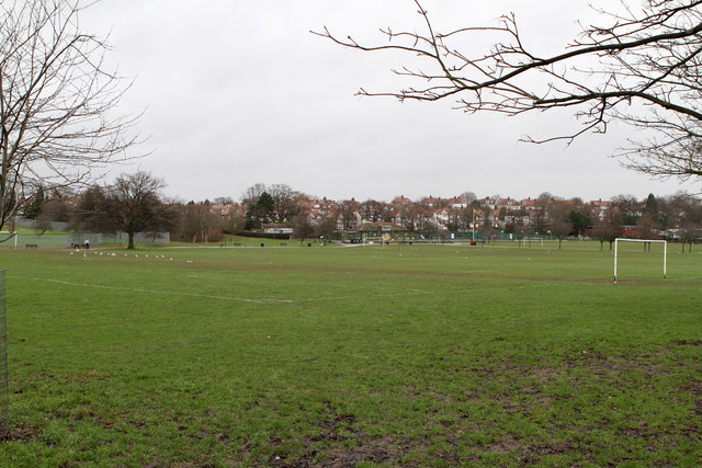
Image: © Martin Addison Taken: 20 Jan 2012
On a site previously occupied by a clay pit and works, the land was first used to play football in the 1900's. It was later expanded to its present size. Tennis courts and bowls club were added in 1925. A full history can be found on the FARRG website at http://www.farrg.org.uk/index.php?option=com_content&view=article&id=9&Itemid=14 .
Images are licensed for reuse under creativecommons.org/licenses/by-sa/2.0
Image Location
Latitude
51.601205
Longitude
-0.134323