Harrow Road and Westway
Introduction
The photograph on this page of Harrow Road and Westway by Stephen Richards as part of the Geograph project.
The Geograph project started in 2005 with the aim of publishing, organising and preserving representative images for every square kilometre of Great Britain, Ireland and the Isle of Man.

There are currently over 7.5m images from over 14,400 individuals and you can help contribute to the project by visiting https://www.geograph.org.uk
Harrow Road and Westway
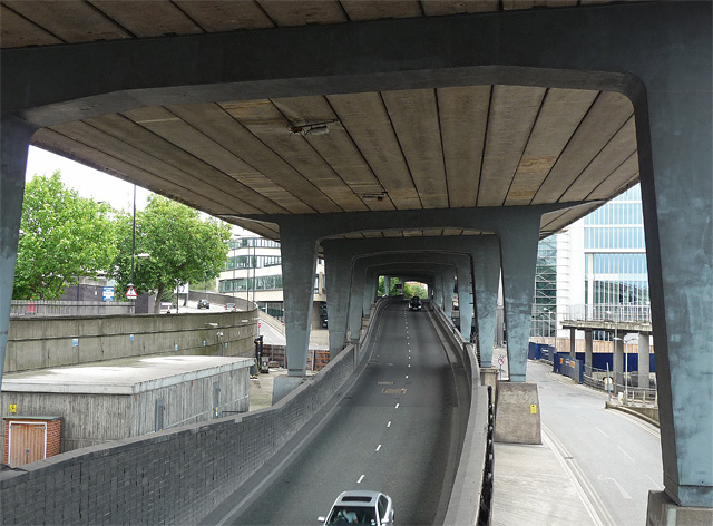
Image: © Stephen Richards Taken: 3 Jul 2011
The Westway is above. Although disruptive when built in the 1960s small plots of unused land under and around it have been put to all manner of ingenious uses (not really in this spot though). To the right of the trees, this building can be glimpsed: Image
Images are licensed for reuse under creativecommons.org/licenses/by-sa/2.0
Image Location
Latitude
51.519608
Longitude
-0.18364