The Cwm Brook
Introduction
The photograph on this page of The Cwm Brook by Jonathan Billinger as part of the Geograph project.
The Geograph project started in 2005 with the aim of publishing, organising and preserving representative images for every square kilometre of Great Britain, Ireland and the Isle of Man.

There are currently over 7.5m images from over 14,400 individuals and you can help contribute to the project by visiting https://www.geograph.org.uk
The Cwm Brook
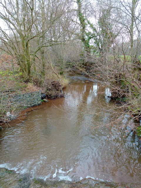
Image: © Jonathan Billinger Taken: 21 Jan 2012
Flowing away from the camera to merge with the Monnow system.
Images are licensed for reuse under creativecommons.org/licenses/by-sa/2.0
Image Location
Latitude
51.931266
Longitude
-2.906625