Brandlesholme Road
Introduction
The photograph on this page of Brandlesholme Road by philandju as part of the Geograph project.
The Geograph project started in 2005 with the aim of publishing, organising and preserving representative images for every square kilometre of Great Britain, Ireland and the Isle of Man.

There are currently over 7.5m images from over 14,400 individuals and you can help contribute to the project by visiting https://www.geograph.org.uk
Brandlesholme Road
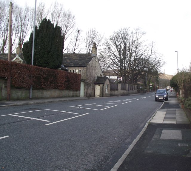
Image: © philandju Taken: 21 Jan 2012
At the boundary between Greenmount and Holcombe Brook and looking towards the Peel Tower.
Images are licensed for reuse under creativecommons.org/licenses/by-sa/2.0
Image Location
Latitude
53.630777
Longitude
-2.338537