Eastern end of Pentre-Poeth Road, Bassaleg
Introduction
The photograph on this page of Eastern end of Pentre-Poeth Road, Bassaleg by Jaggery as part of the Geograph project.
The Geograph project started in 2005 with the aim of publishing, organising and preserving representative images for every square kilometre of Great Britain, Ireland and the Isle of Man.

There are currently over 7.5m images from over 14,400 individuals and you can help contribute to the project by visiting https://www.geograph.org.uk
Eastern end of Pentre-Poeth Road, Bassaleg
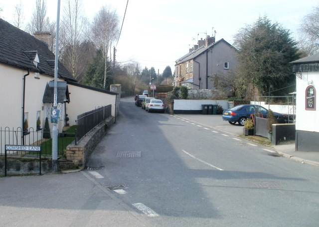
Image: © Jaggery Taken: 5 Mar 2011
Pentre-Poeth Road heads away from Caerphilly Road, Bassaleg past Cowshed Lane http://www.geograph.org.uk/photo/2771211 on the left and The Ruperra http://www.geograph.org.uk/photo/2771212 on the right.
Images are licensed for reuse under creativecommons.org/licenses/by-sa/2.0
Image Location
Latitude
51.575319
Longitude
-3.054795